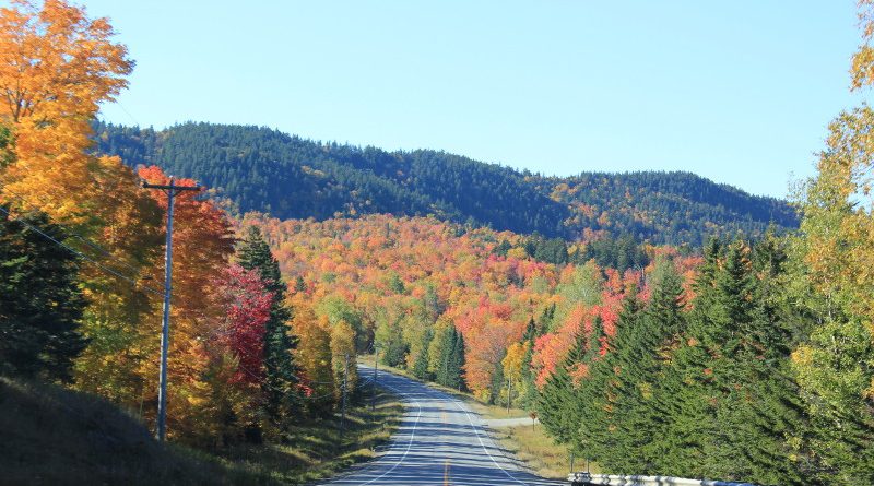
USA 2016: New England in the fall (part 1)
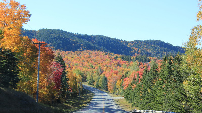
After our first trip to the USA in 2015, we found ourselves drawn back for a repeat visit in 2016. Although we were tempted to head down to the south west again, we felt we should give America a chance to show us something completely different.
As you’ll probably have noticed, we travelled further north this time, flying to New York. The photos will cover the trip in chronological order, but here’s a quick summary of the route we took:
- New York – Niagara
- East from Niagara across NY State through the Adirondack Mountains to Lake Chamberlain
- Into Vermont, through the Green Mountains on VT100 to Stowe
- Continuing east into New Hampshire — the White Mountains. Highlights included Crawford Notch, Mount Willard, the Kancamagus Highway and Mount Washington.
- North into Maine, via the stunning Rangeley Overlook and onto Moosehead Lake and our base at Greenville.
- On leaving this area, we headed east to the coast, via Moosehorn Wildlife Refuge. From Quoddy Head Lighthouse we drove south to Acadia National Park for a few days.
- On leaving Acadia, we drove south along the coast, visiting Camden and Portsmouth before finishing the trip with a couple of days in New York.
It was an eye-opening trip with lots of great scenery. Despite a fair effort we did come home without seeing a moose, but in all other respects we were pretty satisfied.
As time is short and this website doesn’t pay the bills(!), I’ve opted for a photo highlight format this year, rather than an extensive write up. I will however be posting separate reviews of the maps and guide books we used, some of which were rather good.
(N.B. This wasn’t actually a motorhome trip… as we did last year, we rented a car and used motels. The route would be just as good in a motorhome and campsites were plentiful, but there were far fewer motorhomes on the road than in the south west and California last year. )
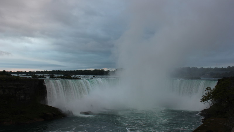
A brief diversion — Niagara Falls?
We don’t mind a bit of driving, which is just as well when you plan routes as we do. After a first night on the outskirts of New York, the logical thing would have been to head up north into New England. This would have given us a far more relaxed schedule.
Obviously we didn’t do that. We decided that the relative proximity of Niagara Falls (a mere 400 miles or so in the opposite direction) was too good an opportunity to miss, as I hadn’t been before. So we made an early start and motored across New York State, arriving by mid-afternoon.
The reality is that viewing the falls is much better on the Canadian side. So we walked over the bridge into Canada and took photos from there. The customs procedure is relatively light-handed (by modern USA/Canada standards) but be prepared for questions about your travel plans and origins when entering both sides.
The fall colours
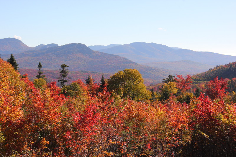
New England (which encompasses all the north-eastern states of Vermont, New Hampshire, Maine, Connecticut, Rhode Island and Massachusetts) has a lot of trees, lakes and hills. To give you an idea of what to expect, Maine — the most heavily forested state — is 90% covered in trees! There’s nothing like it in Europe.
Incidentally, the maple trees that provide the spectacular pinks, oranges and reds of autumn — as well as the area’s other big export, maple syrup!
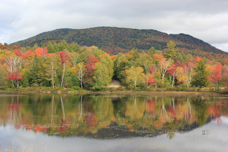
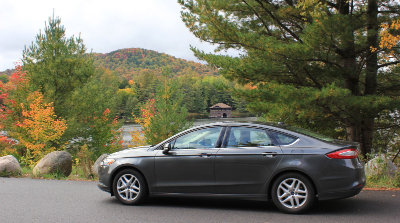
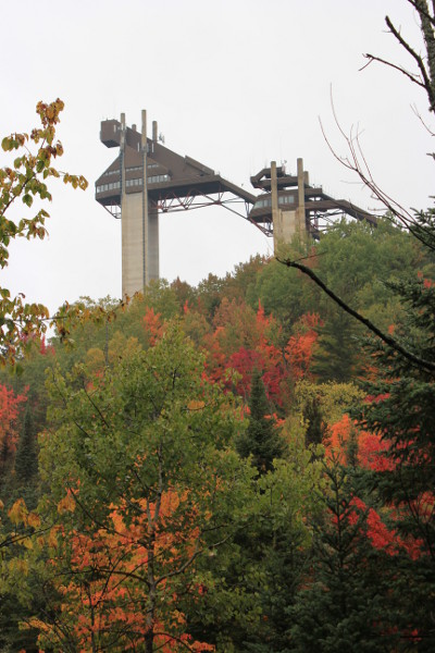
Heading east into Vermont, the views continued to improve.
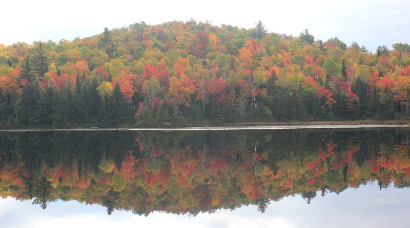
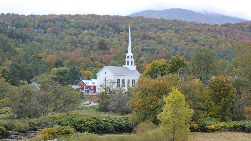
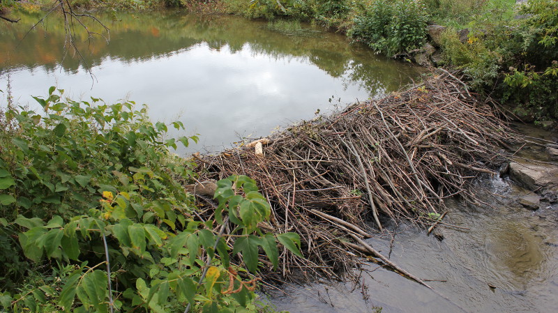
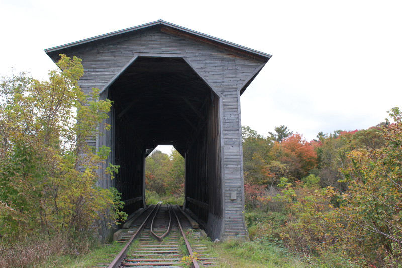
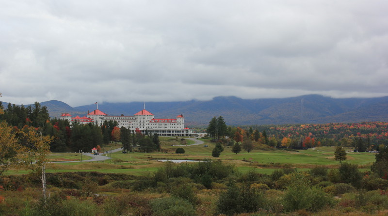
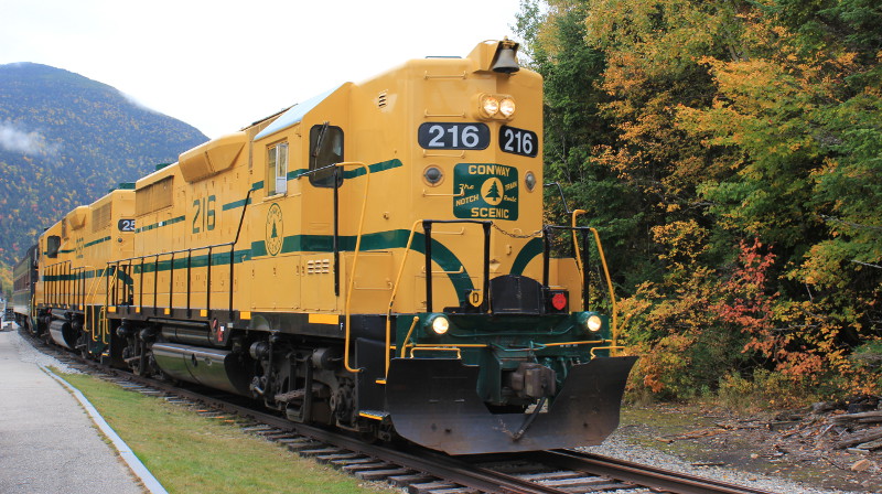
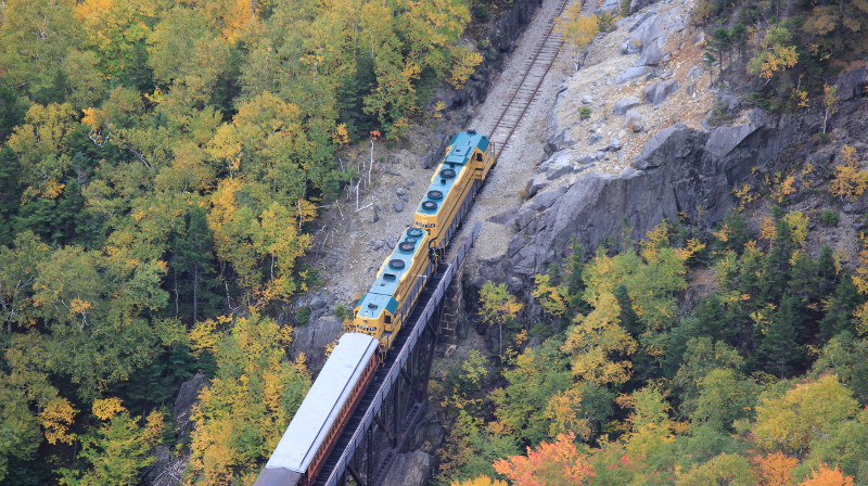
As we headed out of New Hampshire and into Maine, the fall colours really started to reach their peak:
As this post is getting quite long, I’ll continue it in part 2 shortly…

