Sierra de Gredos Regional Park – Spain & Portugal Tour 2009
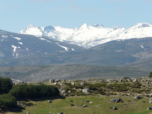
Leaving Avila at the not-too-early time of 0930, we picked up the N502 and set course for the Sierra de Gredos Regional Park. We took the route across the top of the park on the AV-941 (also called the CL-500 – not sure why Spanish roads often have two names). We then turned south onto the N-110 which cuts through the park.

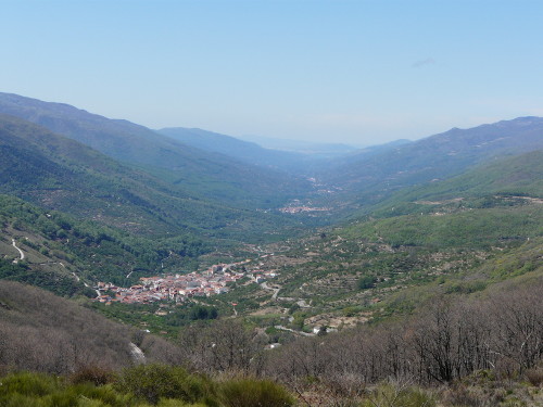
This route through the park (which itself has few roads) promised mountains and impressive views and did not disappoint. A great place for a lunch break is the Puerto de Tornavacas – the highest point in the area. It’s just south of the park boundary on the N-110. Don’t expect facilities, however, they don’t exist.

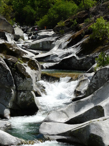
After lunch, we went downhill on the N-110 to Jerte, the location of the main entrance point to the Reserva Natural de la Garganta de los Infiernos. Stopped here (free parking, as usual) and took a walk to Los Pilones – a rocky riverbed that has been attractively sculpted by water over the years. It’s a good 1.5hr return trip from the car park and decent shoes are a sensible option. Don’t try it if you can’t walk uphill!

We knew we were going to end the day without a convenient aire nearby but gambled on finding a suitable wild camping spot, as we still had sufficient capacity in our on-board facilities not to need water, waste or sewage services. Accordingly, we carried on driving towards the Parque Nacional de Monfrague, our next destination. Passing through Plasencia, we had some trouble finding the road we needed (EX-208) but eventually found it signposted out of the industrial area on the far side of town. No sat nav in this van but sometimes I wish there was…
We ended up parked on a section of disused old road alongside the new road leading to the Park. Ideal for the next day and a quiet place to spend the night. As a bonus, we even saw some vultures during the evening – the main reason we were visiting Monfrague the next day.
Distance driven: 141 miles
