The Extraterrestrial Highway: USA 2015
After leaving Cedar City, Utah, bright and early, we headed west. Our plan was to drive 415 miles across the Nevada desert to Mammoth Lakes in California, on the eastern slopes of the Sierra Nevada mountains.
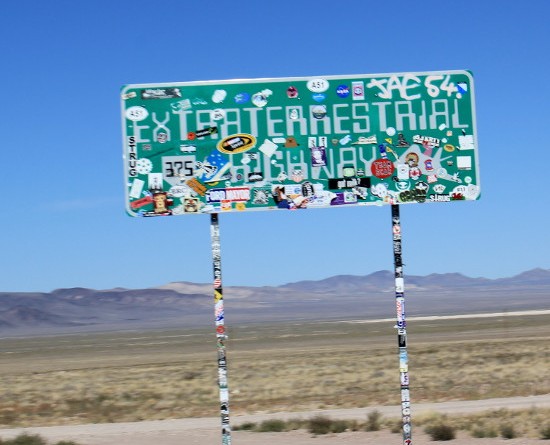
Aside from getting us across to the Sierra Nevada, the purpose of this particular route was the drive across Highway 375. This desert road is better known to UFO enthusiasts as the extraterrestrial highway, a name that was officially adopted by the state in 1996:
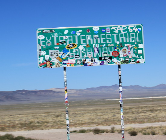
The reason for this is that the road runs close to the Nellis military range and the top secret air force base known as Area 51. It’s possible to loop round onto a dirt road for a few miles to get even closer to Area 51, but we didn’t bother. Many do, however, and regular UFO sightings are claimed. I’ll leave it to you to work out the more likely explanation for such events…
Highway 375 runs from Crystal Springs on route 318 to Warm Springs on US Route 6:
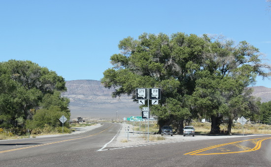
Both Crystal Springs and Warm Springs are pretty much abandoned. At the time of our visit, if you were heading west you couldn’t get fuel until Tonopah, 50 miles or so beyond Warm Springs. In total, we had a 175-mile stretch without fuel — we filled up at Caliente and then at Tonopah.
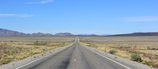
This area contained the longest stretches of straight road I’ve ever seen. Coupled with the awesome but sometimes monotonous desert landscape, the effect is a little mesmeric. Even at 70mph (the speed limit most of the time), you feel as if you are hardly moving.
The only place to stop — in fact the only place at all on 375 — is the town of Rachel. Once a thriving town of more than 500, its fortunes went south when a local tungsten mine closed in 1988.
Now home to fewer than 100 people, if I tell you that Rachel’s gas station has closed down — despite the town being at least 50 miles from the nearest fuel station — you’ll get an idea of the state of the local economy.
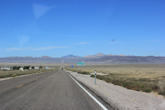
Only one business appears to be thriving, or at least surviving — the Little A’Le’Inn (Little Alien). This diner and motel has survived by cashing in on the road’s extraterrestrial reputation, but it’s a good place to stop for lunch or a drink and is reasonably priced.
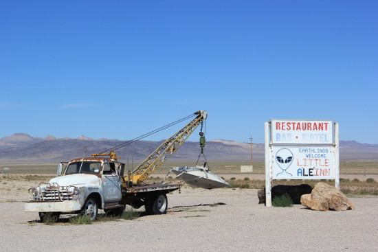
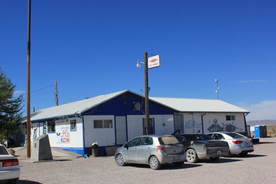
It’s also a good place to stand outside and absorb the awesome heat and stillness of the desert, beyond which lie the mountains through which you will eventually be driving.
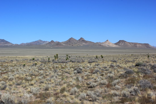
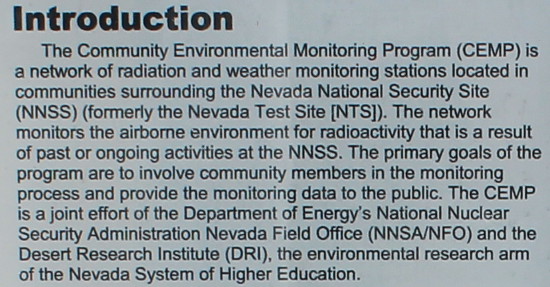
As it turns out, the desert around this area used to be called the Nevada Test Site. It’s now known as the Nevada State Security Site. It seems that the US government used to test radioactive devices out here.
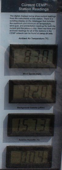
Today, the local residents can keep an eye on any unwanted side effects of these past activities thanks to the Community Environmental Monitoring Programme, which also monitors the weather. On the day we were there, it wasn’t especially hot (83F) but I was impressed to see humidity of just 4%.
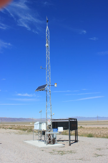
Some details:
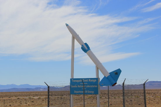
After all the excitement of Rachel, we drove on. It wasn’t until much further on that we saw the first signs of the large military and government presence in the region:
One thing to note if you are driving from Nevada into California is that depending on your route, you may be pulled into a Department of Agriculture inspection station and asked about fresh produce. We had to show what we had and had our apples inspected. Luckily they were still in the supermarket net bag and had been produced in California, so we were allowed to keep them.
Not all NV/CA crossings seemed to have inspection stations, though. This was the only one we saw in several crossings of the state line.

Pingback: USA 2015 map reviews: Marco Polo vs Michelin California & USA West
Pingback: Mammoth Lakes, Mono Lake & Bodie: USA 2015