Map Review: Road Maps of Norway
Disclosure: I received a free copy of these maps for this review. I did not receive any payment and was not required to write a positive review. Links marked with (eBay⇒) or (Amazon⇒) are affiliate links. This means I get paid a small commission if you buy something after clicking on the links. This money helps to pay for the running of the website.
We recently spent a month touring around Norway. We do not use a sat nav and so depend completely on paper maps. Although we prefer road atlases for their ease of use, large folding maps are also useful, especially for trip planning purposes.
In addition, we found that there was not a great choice of road maps for Norway on sale in the UK – we usually buy a Michelin or AA road atlas for European countries but found these were non-existent for Norway.
We ended up with three maps:
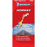
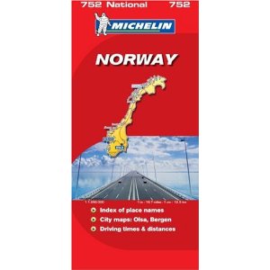
- Michelin Norway 1:1,250,000 ( map 752)
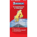
- Michelin Scandinavia & Finland 1:1,500,00 ( map 711)
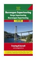
- Freytag & Berndt Norway Supertouring road atlas (1:400,000).
 Michelin Norway 1:1,250,000 (752) – Buy on Amazon
 (Amazon⇒)
This map is number 752 in Michelin’s National series – the red ones. It’s a folding map at 1 inch:19.7 miles (12.5km) scale.
We used this for route planning before we left and during the trip and, occasionally, to provide a ‘second opinion’ when navigating. It was a good map for route planning and general driving, but as you would expect with this scale, it lacked some of the detail needed for detailed navigation of minor roads. The ‘city maps’ are not really that useful – they simply show the major roads through the cities in question. They’re enough to allow you to drive through a city without stopping, but not to help you navigate within it.
Overall, this map was exactly what you would expect – clear, easy to read and accurate, with a useful table of driving distances and times. At around a fiver to buy, it’s not bad value either.
 Michelin Scandinavia & Finland 1:1,500,000 (711) – Buy on Amazon
 (Amazon⇒)
Both of the Michelin maps we used were review samples, provided for us by Michelin UK. This map covers Norway, Sweden, Finland and Denmark and with a scale of 1 inch: 23.67 miles, it is (obviously) not designed for detailed navigation on minor roads. It claims to include city maps for six major cities, but again these are very basic, and would only be any use if you just needed to drive straight through the cities in question.
However, this map is well suited for route planning and long-distance journeys on major roads. That’s how we used it – primarily in Denmark. Like Michelin Norway, this map has a useful table of driving distances and times and is easy to read.
 Freytag & Berndt Norway Supertouring (1:400,000) – Buy on Amazon
 (Amazon⇒)
We bought this road atlas with the intention of using it as our main navigational map. Unfortunately, we were a little disappointed. Even when planning our trip before we left, we began to discover that the maps in this book were not as detailed as we had hoped for. Google Maps became our friend as we worked out the best route around Norway and tried to locate places listed in our guidebooks.
This impression was confirmed when we started driving in Norway – minor locations were often completely missing and the roadside viewpoints marked on the maps became a running joke – they almost never existed.
Producing a road atlas for a large country with few roads must be quite difficult. In order to get high levels of detail, you will also end up with lots of nearly empty pages. However, Norway Supertouring was disappointing. Had we not had the Michelin map to cross reference with and taken the precaution of printing off various detailed local maps and of acquiring several (good) regional maps from Norwegian tourist offices, we would have found some places quite hard to find.
Recommended Maps For Norway
Our experience with the maps we took was that none were quite as good as we hoped for detailed rural navigation. We filled in the gaps in our maps by using a combination of local maps obtained from tourist information offices and maps we printed off from the internet before we left home.
This worked well enough for us, but if you would like really detailed coverage from a single set of maps, then there only seem to be two good options:
Satellite navigation: A sat nav with good European mapping might work – we saw many people using them, but check the level of detail for Scandinavia – it’s often less than for Western Europe.
A set of regional maps of Norway: Freytag & Berndt does a set of 4 maps that cover the whole of Norway, while Cappelen (a Norwegian company) does a set of 5 maps that cover the whole country). County-level maps are also available for even more detail.
Regional maps of Norway don’t seem to be readily available on Amazon or the high street, but they can be bought from specialist map suppliers like Stanfords and The Map Shop.

