Thurso and the North-West Coast of Scotland – Scotland 2010
Our journey around mainland Scotland continued where it left off – at Gill’s Bay, a few miles west of John O’Groats. We had travelled up the east coast on our way north, so now started to drive across the northern coast of Scotland, ready to travel down the famed west coast and visit the Isle of Skye and the Outer Hebrides (or so we thought…).
We stopped in Thurso to buy fuel and visit Tesco – apart from this, there isn’t much reason to stop here but it does have the cheapest fuel in the area and the only substantial supermarkets. Having recently paid 131.9p/litre for diesel in Shetland, it was nice to pay less than 120p/litre again (July 2010), although I didn’t begrudge the cost in Shetland – it’s obvious why it costs more.
A Brief Detour Inland
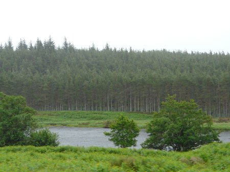
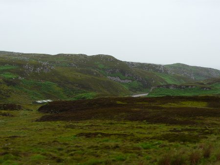
I felt that we might be missing something by sticking only to the coast road across the north of Scotland (the only main road in the region), I persuaded my wife to take a detour inland into the Sutherland hills. We left the A836 coast road just after Bettyhill and turned took the B871/B873/A836 to make a loop back up to the coast at Tongue. To say the inland areas were rural and remote doesn’t begin to do justice to them, although the dismal weather didn’t help either:
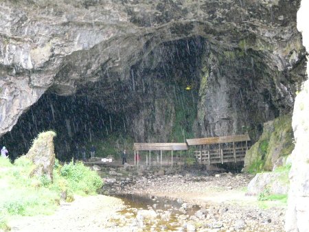
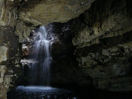
The north coast is attractive enough but turned out to be just a taster for what was to come once we turned the corner onto the west coast. However, before we go that far we managed a stop at Smoo Cave, which boasts underground waterfalls and is worth a few minutes of your time if you are passing. High water levels in the cave meant that the guided (boat) tours were cancelled that day, but on the plus side, admission by foot was free, enabling us to see most of the cave for nothing.
Heading west, the main road (A838) cuts off the north-west corner of Scotland – there are no roads to Cape Wrath – and from Durness heads south west towards the west of Scotland proper and perhaps the most amazing scenery I’ve seen anywhere in the UK:
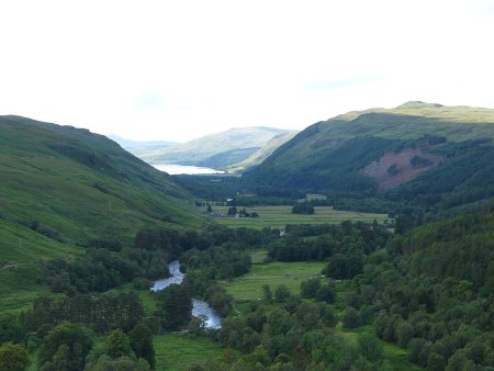
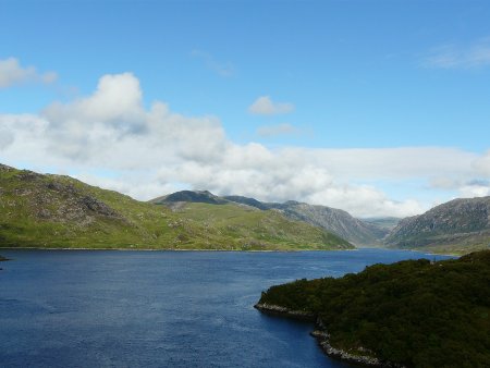
This area is still extremely remote – there simply aren’t any towns, villages or even houses in most areas – but the scenery is amazing and there is no shortage of areas where you can pull off the road to admire the view or indeed spend the night. Highly recommended, although unlike the north east and the northern isles, this area and all points south are much more popular with tourists than you might imagine.
This continues (with slightly lessening intensity) all the way down to Ullapool, a picturesque but busy place that reminded me of Windermere. The reason for Ullapool’s popularity becomes obvious when you realise it is within comfortable weekending distance of Glasgow and Edinburgh – and hence the majority of Scotland’s population.
The Bealach na Ba Pass
One other highlight of this area is the Bealach na Ba pass, which is probably the closest you will get to an alpine pass in the UK. Tight hairpins, a gradient of up to 20%, and single track most of the way makes it a memorable drive – even without the amazing views. It rises to 626m at the top of the pass (a good place for a lunch break) and is by far the most fun way to get to the village of Applecross on the coast, although drivers of larger motorhomes might prefer to take the alternative coastal (and flat) route.
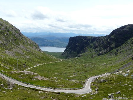
To get to the Bealach na Ba pass, take the A896 and turn off at Tornapress. The road is well signposted with various warnings, suggesting that learner drivers, caravan towers and large vehicles should avoid it. It certainly is not a suitable route for caravans or American RVs. In winter conditions it tends to be closed.
Here’s a short video of our drive back down the eastern side of the Bealach na Ba pass:

Really helpful insight. I think i’ll avoid the Bealach na ba pass in 7m MH, although it does sound great.